
Nepalese authorities are tracking two upstream lakes formed after a glacier collapse triggered catastrophic floods that killed hundreds, warning that danger will continue until the lakes fully drain.
Nepal's Disaster Management Authority is closely monitoring two lakes that formed in the aftermath of Wednesday's glacier collapse, which unleashed devastating floods across the region. According to an official from the authority, flood risks will persist in downstream areas until both lakes have completely drained their accumulated water.
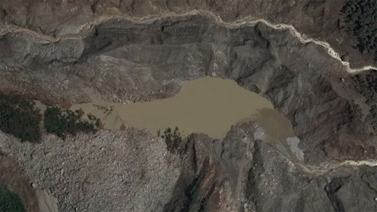
Satellite imagery and aerial footage have captured the emergence and evolution of these lakes since the initial disaster. Chinese rescue teams documented the formation of one lake on Thursday, showing brown water rapidly accumulating in a basin. By Friday, that same lake had begun draining, though satellite images revealed a second, larger lake upstream that continued to grow in size with no visible outlet as of Friday morning, suggesting water pressure was still building at that location.
Nepalese officials acknowledged that their monitoring capabilities face constraints due to limited satellite image availability. To strengthen their response, authorities plan to deploy cameras and sensors at downstream locations, including near the border town of Timure. The deployment strategy is still being assessed, with helicopter delivery being considered as one option for reaching remote areas affected by the disaster.
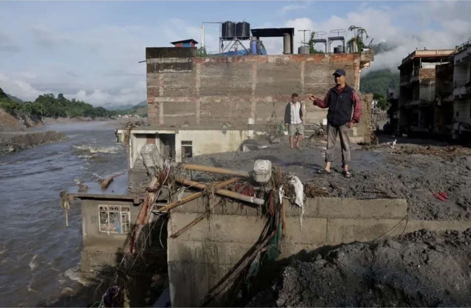
The two lakes formed when Wednesday's glacier collapse pushed rock, ice, mud and debris into river systems, generating powerful flood waves that destroyed homes and infrastructure across the region. The ongoing monitoring effort underscores the complex geological challenges Nepal faces in managing secondary disaster risks from the initial event.