
Sri Lanka's meteorological department forecasts a temporary easing of rainfall today and tomorrow, followed by renewed heavy showers from August 6 onwards, influenced by a developing typhoon near Japan.
The Department of Meteorology has indicated that rainfall intensity across Sri Lanka will diminish temporarily over the next two days, providing brief relief from the heavy precipitation that has affected numerous regions in recent times. However, this pause in severe weather will prove short-lived, as forecasters warn of another wet spell beginning mid-week.
According to Director General Ajith Wijemanne, while rainfall is expected to ease, intermittent showers and thundershowers will persist across the Central, Sabaragamuwa, Western, Southern and North-Western Provinces. The Central and Sabaragamuwa Provinces, which experienced particularly intense rains recently, may continue to see significant moisture, with the Kandy and Nuwara Eliya districts potentially receiving up to 75 millimetres of fairly heavy rainfall. Eastern Province areas, notably Trincomalee District, are also expected to experience afternoon and evening rain activity.
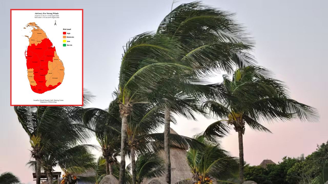
Meteorologists have cautioned about additional hazards accompanying the rainfall, noting that wind speeds of 40 to 50 kilometres per hour may develop periodically in the North Central, Western, Sabaragamuwa and Central Provinces, along with the North-Western Province and Galle and Matara districts.
The respite from heavier conditions appears contingent on developments in the Pacific region. Wijemanne highlighted that a typhoon currently forming south of Japan could influence local weather patterns substantially. Consequently, forecasters anticipate rainfall will intensify again from August 6, with heightened precipitation expected particularly between August 6 and 9 across the Central, Sabaragamuwa regions and southern districts. Conditions are anticipated to improve following August 9.