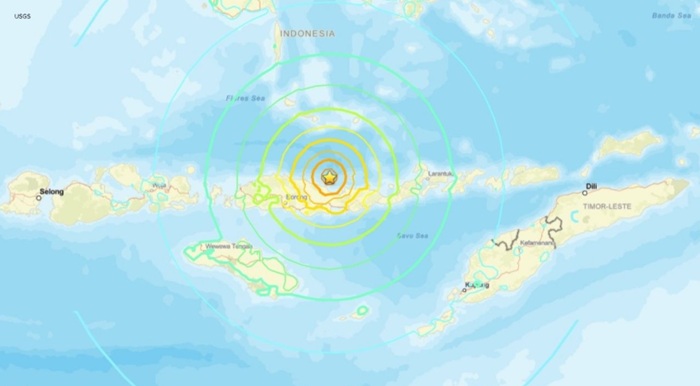


A powerful earthquake measuring 7.7 magnitude hit off the coast of eastern Indonesia on Saturday morning, generating small tsunami waves and prompting evacuations across affected regions.
An earthquake with a magnitude of 7.7 struck off the eastern Indonesian coast early Saturday morning, according to the country's geophysics agency BMKG. The quake occurred at 4:58 a.m. local time at a depth of approximately 15 kilometres, and was followed by multiple aftershocks. Residents in affected areas including Nagekeo and Bima reported strong shaking that lasted around one minute, prompting many to evacuate their homes as a precautionary measure.
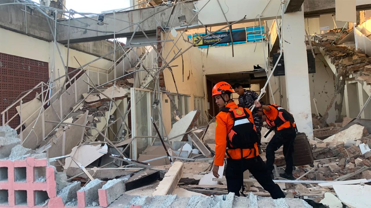
Tsunami waves measuring less than one metre were subsequently recorded in several coastal areas following the undersea earthquake. A spokesperson from Indonesia's national disaster mitigation agency, Dodi Yuleova, indicated there were no initial reports of significant damage from the quake itself. However, video footage verified by Reuters showed structural damage in Maumere, the main town in Sikka Regency on Flores Island, with portions of at least one building collapsing amid the seismic activity. Additionally, a hospital in the Ende district of East Nusa Tenggara Province was documented moving patients to outdoor areas as a safety precaution.
Australia's tsunami warning centre assessed that the undersea earthquake posed no tsunami threat to the Australian mainland, islands, or territories. While the initial earthquake was substantial, the relatively modest tsunami waves that followed helped limit immediate concerns about widespread coastal flooding in the region.