

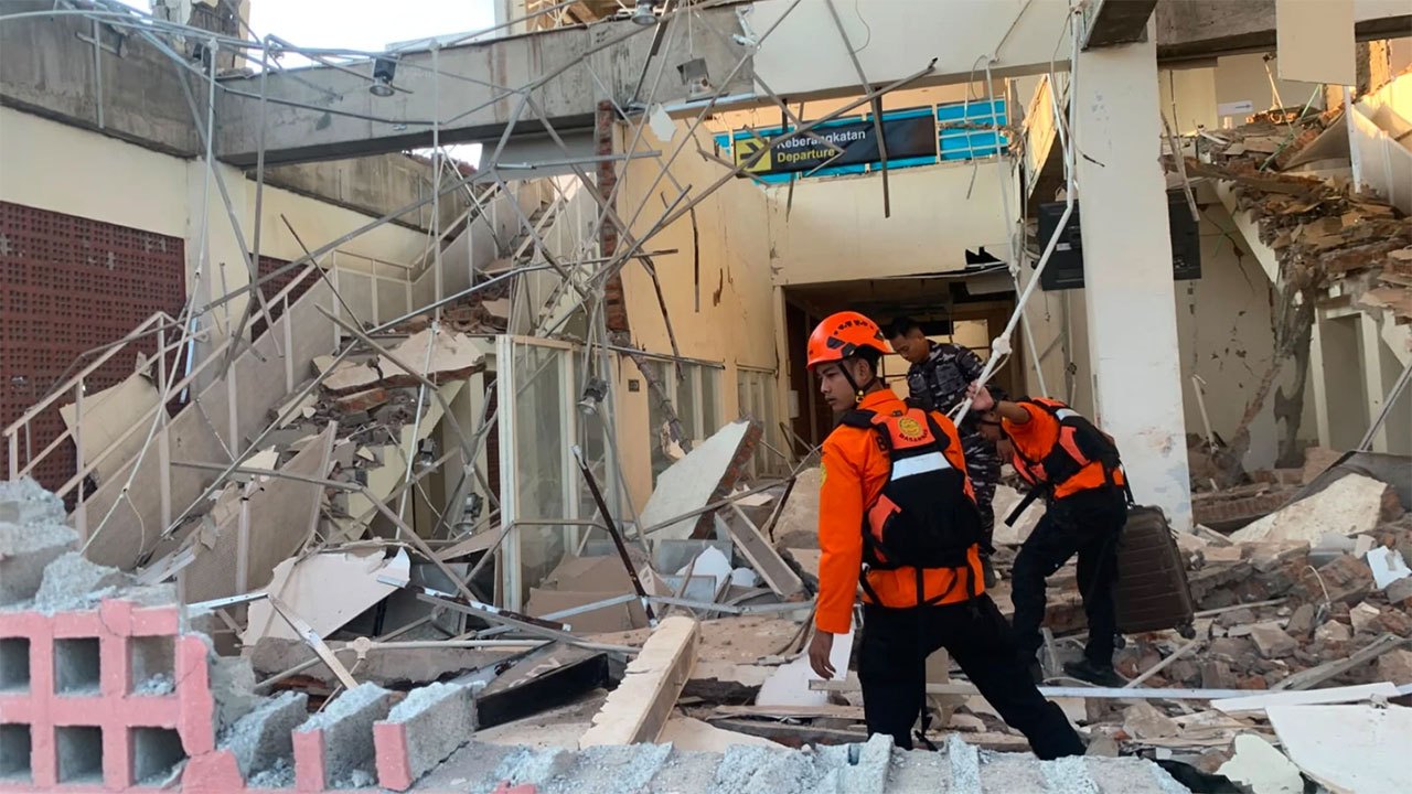
A powerful 7.7-magnitude earthquake hit eastern Indonesia on August 15, killing at least two people and prompting widespread evacuations across the Flores region.
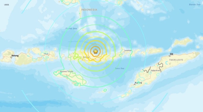
A major earthquake measuring 7.7 magnitude struck off the north coast of eastern Indonesia in the early morning hours of August 15, resulting in at least two confirmed deaths, according to disaster agency officials. The Indonesian Meteorology, Climatology, and Geophysics Agency (BMKG) recorded the initial tremor at 4:58am at a depth of 15 kilometres, with the epicentre located approximately 68 kilometres north-west of Ende. The jolt was followed by multiple aftershocks, including a significant 6.1-magnitude tremor in the same area. Disaster agency spokesman Berton Suar Pelita Panjaitan indicated that final casualty figures and damage assessments would be provided once data verification was complete.
Authorities immediately issued evacuation orders for communities along the northern and southern coasts of Flores and surrounding regions. Officials directed residents to move at least 2 kilometres inland or to elevated areas at least 10 metres above sea level. Footage from Maumere, the primary town in Sikka Regency on Flores Island, documented partial building collapses as residents fled to safety. Eyewitnesses described powerful shaking lasting approximately one minute, with visible structural damage including cracked walls reported in multiple locations.
Tsunami concerns prompted rapid response protocols, with Indonesian authorities initially warning of potential waves ranging from 0.5 to 3 metres. The tsunami warning was lifted at 8:42am local time. Australia's tsunami warning centre reported no tsunami threat to the Australian mainland or territories. Residents across affected areas, including the town of Nagekeo, were observed evacuating to higher ground, with some noting the visible recession of seawater—a phenomenon often preceding tsunami activity.





-850985_850x460.jpg)