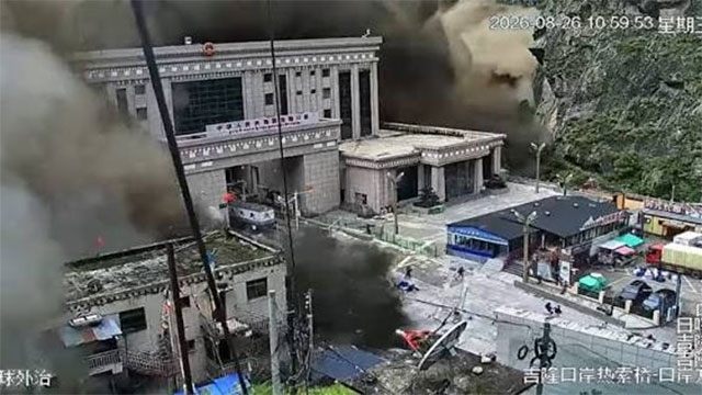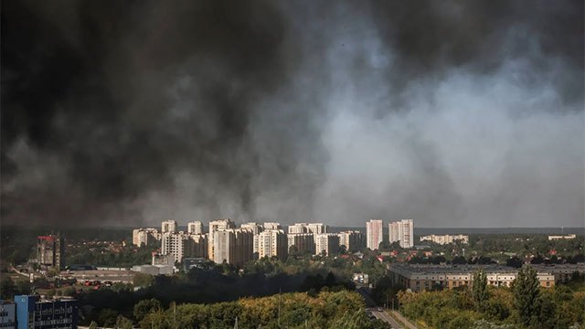

Rescue teams near the Nepal-Tibet border are working against time to locate survivors following a major landslide, while monitoring equipment tracks rising water levels and potential secondary collapses.
Rescue operations continue in the Gyirong port region, the primary land crossing between Nepal and Tibet, where a significant landslide has created a debris-filled landscape with an expanding water body. According to Chinese state media, the lake that has accumulated within the landslide debris is experiencing renewed water level increases, creating concern among officials managing the response effort.
The risk of secondary landslides or mudslides remains a critical concern for emergency responders. In response, the command team overseeing rescue operations has deployed technological solutions to enhance monitoring capabilities. Drones have been deployed across the affected area, while observation posts have been strategically positioned to track slope conditions and provide real-time alerts to rescue personnel operating in proximity to unstable terrain.
Teams are capitalizing on a limited window of favorable weather conditions to conduct active search operations for potential survivors. Simultaneously, efforts are underway to restore road access to the region, which has been disrupted by the landslide event. The combination of time pressure from weather constraints and the ongoing risk of secondary geological events has created an urgent operational environment for the rescue mission.